North vs. South Arkansas: What’s the Difference?
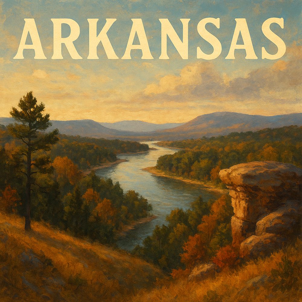
Driving into the Ozark National Forest, just about an hour northwest of Little Rock, you immerse yourself in the kind of rugged landscape that defines much of northern Arkansas. The Whitaker Point Trail, a moderate three-mile round trip, culminates in the famous Hawksbill Crag overlook, a jagged rock outcrop that juts dramatically over a sea of wooded ridges. The crisp air and panoramic vistas here reflect the northern region’s mountainous terrain and cooler climate, offering a stark contrast to the flatter, warmer south. This area’s geology and elevation foster dense forests and winding streams, attracting hikers eager for a wild, scenic escape.
Head south toward Hot Springs, roughly an hour southwest of Little Rock, and you encounter a different Arkansas entirely. Hot Springs National Park is centered around natural thermal springs and historic bathhouses, a legacy of the region’s spa culture dating back to the 19th century. Bathhouse Row showcases stunning Art Deco and neoclassical architecture, where you can tour the Fordyce Bathhouse Museum to learn about the healing waters that made this place famous. The warmer weather here supports lush gardens and a vibrant town center with a distinctly Southern vibe, blending relaxation and heritage unlike anywhere else in the state.
Travel further north to the Crystal Bridges Museum of American Art in Bentonville, about a 2.5-hour drive from Little Rock, and you find a cultural gem nestled in the Ozarks. This museum uniquely combines art and nature with its striking glass-and-wood architecture that opens onto walking trails through wooded hills and ponds. Crystal Bridges houses an impressive collection of American art spanning colonial times to contemporary works, offering visitors a broad look at the nation’s creative heritage. The interplay between the art inside and the natural beauty outside perfectly encapsulates northern Arkansas’s blend of cultural vitality and outdoor adventure.
By contrast, southern Arkansas invites you to explore the vast bottomlands and bayous near Crossett, about three hours south of Little Rock. The Bayou Bartholomew area is a haven for anglers and nature lovers, featuring one of the longest bayous in the world. Canoeing or fishing along this slow-moving waterway reveals a landscape rich in wildlife, from herons and egrets to catfish and bass. This region’s flat terrain and warmer climate create a swampy, humid environment that feels far removed from the crisp hills of the north, offering a glimpse into the deep South’s natural heritage.
In the north-central town of Eureka Springs, roughly three hours northwest of Little Rock, the Victorian architecture and winding streets tell a story of a historic mountain resort community. Known for its preserved 19th-century buildings and artistic spirit, the Crescent Hotel stands as a symbol of this unique town. Visitors can tour the hotel’s haunted history or stroll through the historic district’s eclectic shops and galleries. The cooler mountain air and the quirky, creative atmosphere of Eureka Springs contrast sharply with the sprawling pine forests and agricultural plains found in southern Arkansas.
Further south in Pine Bluff, about an hour southeast of Little Rock, the Arkansas Railroad Museum offers a window into the state’s industrial past. Featuring an impressive collection of restored locomotives and railcars, the museum celebrates the role of railroads in spurring growth and connecting rural communities across the South. Pine Bluff’s flat river delta landscape and proximity to the Arkansas River underscore the importance of waterways and railways in shaping southern Arkansas’s economy and culture, a different story from the rugged terrain and mining history of the north.
Venturing back north, the Buffalo National River near Harrison, approximately two hours north of Little Rock, highlights Arkansas’s commitment to conservation and outdoor recreation. As the first national river protected in the country, it offers some of the most pristine river scenery in the state. Canoeing or hiking along the Buffalo River Trail reveals towering limestone bluffs, caves, and diverse wildlife unique to the Ozark region. The clear spring-fed waters and forested hills embody northern Arkansas’s identity as an outdoor playground, especially vibrant in the fall when the foliage ignites in color.
In the southern town of Camden, about two hours south of Little Rock, you encounter Civil War history etched into the landscape. The nearby Poison Spring Battlefield commemorates one of the war’s lesser-known but fierce engagements. Walking the site’s trails, visitors can reflect on the historical significance of the southern Arkansas military campaigns and how the region’s plantation economy and riverine geography influenced these events. The hot, humid climate and sprawling pine forests here create a markedly different backdrop from the cooler, rocky hills of northern battlefields.
Each part of Arkansas offers its own rhythms and stories—north Arkansas with its mountainous wilderness, artistic enclaves, and crystal-clear rivers; south Arkansas with its steamy bayous, historic river towns, and deep-rooted Southern heritage. Exploring the state through places like Hawksbill Crag and Hot Springs National Park, Crystal Bridges and Bayou Bartholomew, reveals how geography shapes culture and experience, inviting travelers to witness two sides of the Natural State that complement and contrast in equal measure. Whether you’re hiking high in the Ozarks or paddling slow along southern waterways, Arkansas’s diverse landscapes tell tales as varied as its people.